Forest monitoring & research
Advanced monitoring for sustainable forest management
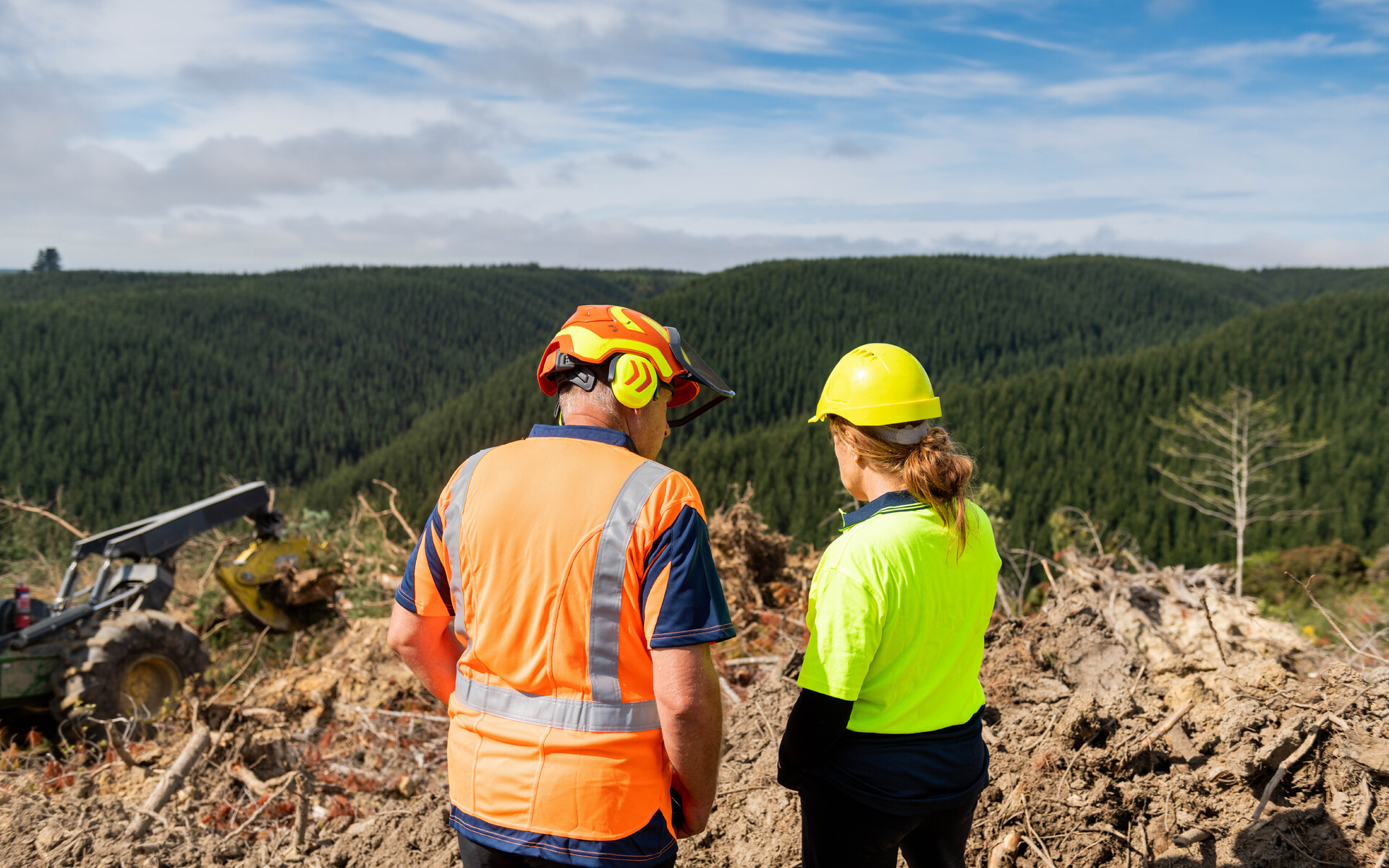
City Forests employs cutting-edge monitoring and research programmes to ensure our 25,000+ hectare forest estate delivers optimal environmental, economic, and social outcomes. Our comprehensive approach combines traditional forestry science with innovative technology and collaborative research partnerships.
These programmes ensure that our sustainable forest management delivers measurable benefits for the environment, economy, and community while maintaining our position as leaders in forestry innovation and environmental stewardship.
Advanced Growth & Yield Monitoring Programme
Comprehensive Forest Inventory
Our annual forest measurement and monitoring programme demonstrates scientific rigor and precision.
Sample Plot Network
Each year, 400–500 sample plots are inventoried in near-harvest forest stands, with approximately 50 additional plots assessed in mid-rotation stands. Permanent sample plots are remeasured according to established schedules, providing approximately 70% inventory coverage of forest areas older than 20 years, representing 90% of radiata stands measured.
Technology Integration
Mapping is maintained through regular GIS updates using satellite imagery and orthophotography, supplemented by small-scale aerial photography for detailed site analysis. GPS surveys provide precise boundary and infrastructure mapping, while UAV drone footage incorporating lidar enables comprehensive harvest area documentation. Physical yield reconciliation is undertaken for large recently completed harvest units.

Predictive Accuracy Excellence
Since 2001, our harvest volume predictions have been within 3% of actual results, demonstrating the scientific rigor and accuracy of our forest management systems.
Advanced Planning & Modelling Systems
Integrated Forest Planning Technology
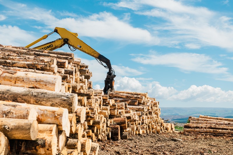
Comprehensive estate planning and valuation is supported by Forest Estate Modelling software, alongside proprietary financial models that integrate economic and operational factors. Carbon modelling systems track sequestration and emissions trading obligations, while 90-year planning cycles ensure sustainable production across three rotations. Annual plan revisions incorporate the latest inventory and market data.
Sustainable Yield Calculations
Our planning systems test for long-term sustainable production levels across multiple rotations, age-class distribution optimisation for consistent annual harvest capacity, environmental constraint integration protecting reserves and sensitive areas, and economic optimisation balancing returns with sustainability objectives.
Forest Health & Biosecurity Monitoring

Professional Health Assessments: Annual forest health surveys conducted by SPS Biosecurity Ltd ensure early detection and management.
Current Health Status (2025 Survey Results)
Animal pest damage has been identified in some areas, with ongoing monitoring and management in place. No major health issues have been detected across the estate, and preventive management programmes are maintaining forest resilience. Integrated pest management approaches continue to minimise chemical inputs.
Monitoring Protocols
Forest health is managed through systematic site assessment across all blocks, with species-specific health indicators tracked for major plantation species. Early warning systems are in place for emerging pest and disease threats, supported by rapid response capability for health emergencies.
Clear-Fell Coup Size Monitoring
FSC® Compliance & Environmental Protection: Monitoring clear-fell coup sizes demonstrates our commitment to FSC® principles.
Recent Monitoring Results
Average coup sizes are tracked and reported annually, with environmental impact assessments conducted to evaluate harvesting patterns. Coup sizing is planned to minimise biodiversity impact, while landscape-level planning maintains forest connectivity and supports overall ecosystem health.
The Environment

In partnership with Otago Regional Council we have a comprehensive water monitoring system which ensures protection of this vital resource. Find out more here.
We employ Advanced Disturbance Assessment by using imagery analysis to protect soil resources. Find out more about our soil health here.
Our forests serve as living laboratories, where long-running partnerships with research institutions and conservation organisations advance our understanding of native species and shape best practice across the industry. Find out more here.
Reserve Area Monitoring Programme
Comprehensive Reserve Assessment: 2,400+ hectares of native reserves are monitored.
Annual Inspection Programme (2024–25)
During the 2024–25 period, 58 reserve areas were inspected using foot and UAV surveys, with no major issues identified across the reserve network. Wilding tree control remains an ongoing priority in sensitive areas, supported by targeted intervention programmes for exotic weed management.
Professional Ecological Assessment
Wildland Consultants conduct fine-level ecological surveys, informing a reserve classification system developed to FSC® standards. Management is prioritised based on conservation value assessment, with progressive survey coverage expanding as resources and access permit.
Recent Ecological Assessments
- 2025 saw new land acquisitions receiving initial ecological assessments.
- 2022 saw Tokoiti wetland fine-level assessment completed.
- 2020 saw Silverpeaks forest comprehensive ecological survey.
- 2017 saw Waipori fine-level assessment update completed.
Technology & Innovation Integration
Cutting-Edge Monitoring Technology
Advanced technology underpins our monitoring and assessment programmes. Satellite imagery analysis supports harvest area assessment and mapping, while UAV drone technology enables detailed site monitoring. GPS integration ensures precise location and boundary management, with GIS systems maintaining a comprehensive spatial database. Digital photography creates permanent monitoring records across all operations.
Data Management Systems
Integrated databases combine growth, yield, financial, and environmental data, with real-time updates ensuring current information is available for decision-making. Predictive modelling supports long-term planning and sustainability objectives, while performance tracking monitors achievement against targets.
Adaptive Management Approach
Our monitoring programmes continuously evolve through regular review of scientific literature to incorporate the latest research findings, adoption of new monitoring tools and techniques, integration of stakeholder and community feedback, and ongoing evaluation of monitoring effectiveness. Learning from industry leaders and innovations ensures best practice is consistently applied.
Future Monitoring Enhancements
Planned improvements include expanded biodiversity monitoring incorporating additional species and ecosystems, climate change adaptation monitoring to assess forest response to changing conditions, and enhanced carbon monitoring to improve sequestration measurement accuracy. We also aim to expand opportunities for community engagement through citizen science participation and to explore AI and machine learning applications for monitoring and analysis.
Future Monitoring Enhancements
Planned improvements include expanded biodiversity monitoring incorporating additional species and ecosystems, climate change adaptation monitoring to assess forest response to changing conditions, and enhanced carbon monitoring to improve sequestration measurement accuracy. We also aim to expand opportunities for community engagement through citizen science participation and to explore AI and machine learning applications for monitoring and analysis.